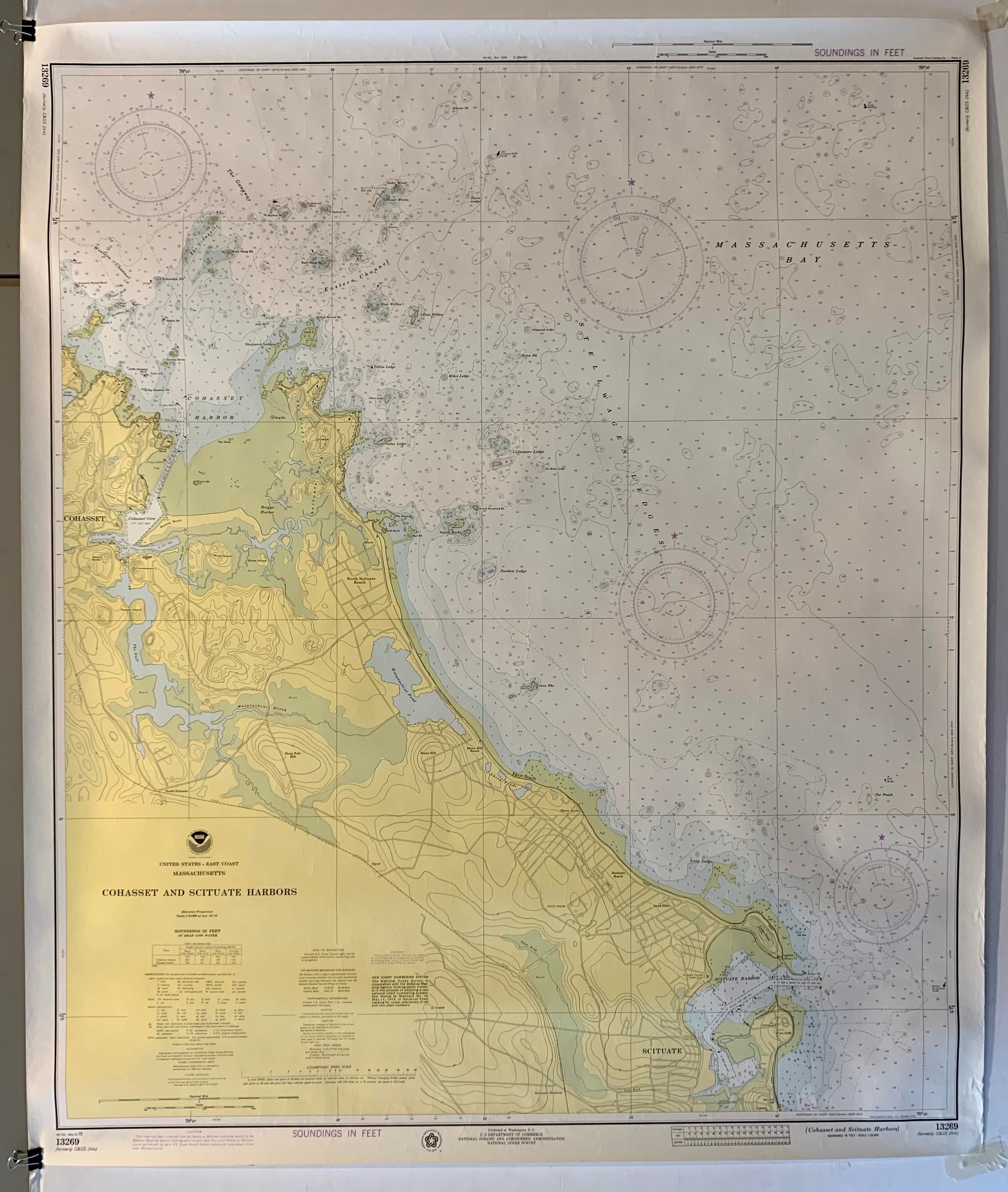
NOAA Cohasset and Scituate Harbors Map
U.S.A., 197542 x 35 in (107 x 89 cm)
ID #ROLLDOWN48-S
"United States - East Coast / Massachusetts / Cohasset and Scituate Harbors / Soundings in Feet at Mean Low Water"
The National Oceanic and Atmospheric Administration (NOAA) created and distributed this map of Cohasset and Scituate Harbors and its various points of entry for informational purposes amongst both commercial and recreational mariners by providing soundings in feet, locations of radar reflectors, and a logarithmic speed scale.
Published at Washington, D.C. by the U.S. Department of Commerce, the National Oceanic and Atmospheric Administration, and the National Ocean Survey
Year: 1975
Condition: Slight signs of creasing throughout paper.
This poster is on paper, but please note that we offer linen-backing for an additional cost. Email us at postermuseum@gmail.com for more details.