53 All Posters

NOTE: For close-up of condition, double-click the image
Link to  New England United Air LinesUnited States, c. 1960  Product
New England United Air Lines Product Link
United States, c. 1960
41 x 25 in (104 x 64 cm)
$300
Link to  Scotland MapUnited Kingdom, 1960s  Product
Scotland Map Product Link
United Kingdom, 1960s
40 x 25 in (102 x 64 cm)
$300
Link to  Wales MapUnited Kingdom, 1960s  Product
Wales Map Product Link
United Kingdom, 1960s
40 x 25 in (102 x 64 cm)
$300
Link to  The Bettmann Archive PosterUnited States, 1962  Product
The Bettmann Archive Poster Product Link
United States, 1962
11 x 11 in (28 x 28 cm)
$150
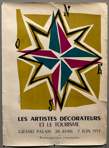
Link to  Jean Colin Les Artistes Décorateurs Poster ?France, 1953  Product
Jean Colin Les Artistes Décorateurs Poster ? Product Link
France, 1953
22 x 15 in (56 x 38 cm)
$125
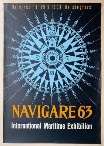
Link to  Navigare 1963 PosterNorway, 1963  Product
Navigare 1963 Poster Product Link
Norway, 1963
39 x 28 in (99 x 71 cm)
$300
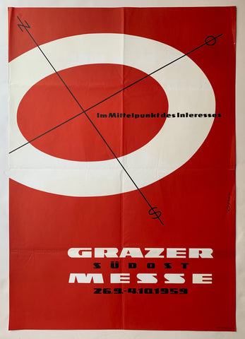
Link to  Grazer Südost-Messe 1959 PosterAustria, 1959  Product
Grazer Südost-Messe 1959 Poster Product Link
Austria, 1959
23 x 33 in (58 x 84 cm)
$450
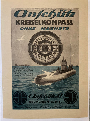
Link to  Anschütz Kriselkompass PosterGermany, c. 1920s  Product
Anschütz Kriselkompass Poster Product Link
Germany, c. 1920s
14 x 11 in (36 x 28 cm)
$45
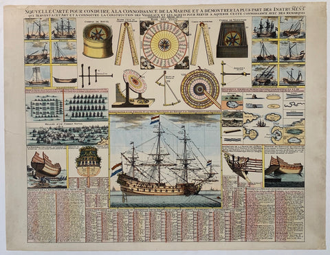
Link to  Nouvelle Carte Pour Conduire A La Connoissance De La Marine Et A Demontrer La Plus Part Des InstrumentsFrance  Product
Nouvelle Carte Pour Conduire A La Connoissance De La Marine Et A Demontrer La Plus Part Des Instruments Product Link
France
19 x 25 in (48 x 64 cm)
$200
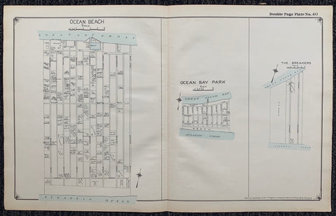
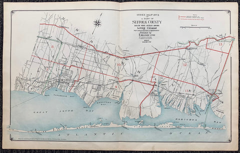
Link to  Index Map N.2 of a Part of Suffolk County1915  Product
Index Map N.2 of a Part of Suffolk County Product Link
1915
17 x 27 in (43 x 68 cm)
$325
Link to  Long Island Index Map No.2 - Plate 40 Ocean Bay ParkLong Island, C. 1915  Product
Long Island Index Map No.2 - Plate 40 Ocean Bay Park Product Link
Long Island, C. 1915
17 x 27 in (43 x 68 cm)
$200
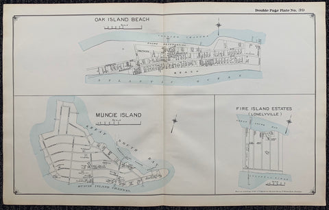
Link to  Long Island Index Map No.2 - Plate 39 Oak Island Beach Muncie Island Fire Island Estates (Lonelyville)Long Island, C. 1915  Product
Long Island Index Map No.2 - Plate 39 Oak Island Beach Muncie Island Fire Island Estates (Lonelyville) Product Link
Long Island, C. 1915
17 x 27 in (43 x 68 cm)
$200
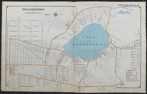
Link to  Long Island Index Map No.2 - Plate 38 Lake RonkonkomaLong Island, C. 1915  Product
Long Island Index Map No.2 - Plate 38 Lake Ronkonkoma Product Link
Long Island, C. 1915
17 x 27 in (43 x 68 cm)
$200
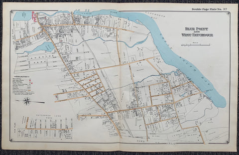
Link to  Long Island Index Map No.2 - Plate 37 Blue Point West PatchogueLong Island, C. 1915  Product
Long Island Index Map No.2 - Plate 37 Blue Point West Patchogue Product Link
Long Island, C. 1915
17 x 27 in (43 x 68 cm)
$200
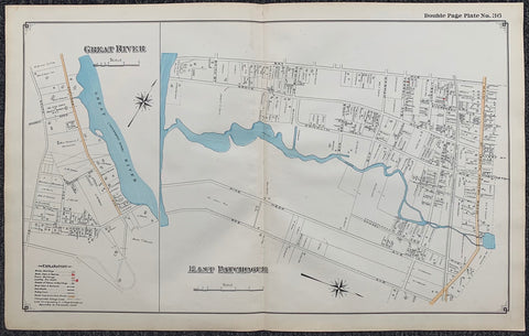
Link to  Long Island Index Map No.2 - Plate 36 Great River East PatchogueLong Island, C. 1915  Product
Long Island Index Map No.2 - Plate 36 Great River East Patchogue Product Link
Long Island, C. 1915
17 x 27 in (43 x 68 cm)
$200
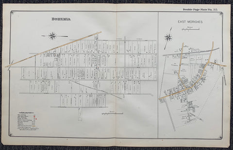
Link to  Long Island Index Map No.2 - Plate 35 East MorichesLong Island, C. 1915  Product
Long Island Index Map No.2 - Plate 35 East Moriches Product Link
Long Island, C. 1915
17 x 27 in (43 x 68 cm)
$200
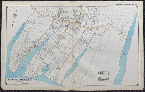
Link to  Long Island Index Map No.2 - Plate 34 Centre MorichesLong Island, C. 1915  Product
Long Island Index Map No.2 - Plate 34 Centre Moriches Product Link
Long Island, C. 1915
17 x 27 in (43 x 68 cm)
$200
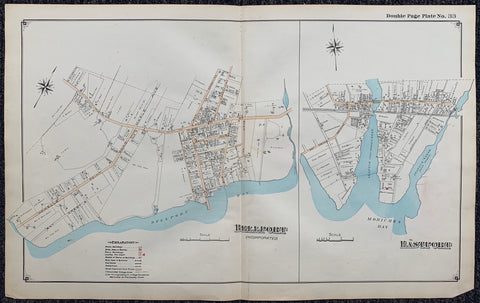
Link to  Long Island Index Map No.2 - Plate 33 BellportLong Island, C. 1915  Product
Long Island Index Map No.2 - Plate 33 Bellport Product Link
Long Island, C. 1915
17 x 27 in (43 x 68 cm)
$200
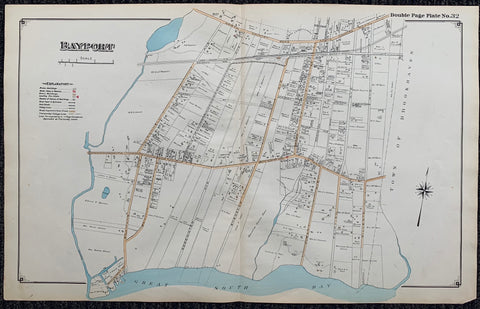
Link to  Long Island Index Map No.2 - Plate 32 BayportLong Island, C. 1915  Product
Long Island Index Map No.2 - Plate 32 Bayport Product Link
Long Island, C. 1915
17 x 27 in (43 x 68 cm)
$200
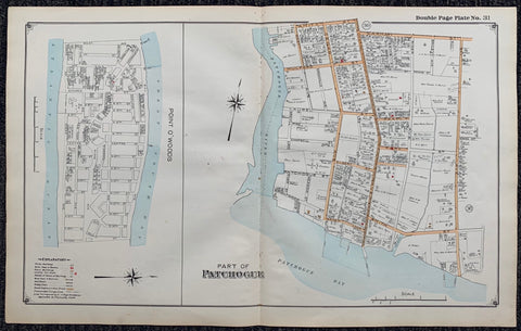
Link to  Long Island Index Map No.2 - Plate 31 Patchogue Point O'WoodsLong Island, C. 1915  Product
Long Island Index Map No.2 - Plate 31 Patchogue Point O'Woods Product Link
Long Island, C. 1915
17 x 27 in (43 x 68 cm)
$200
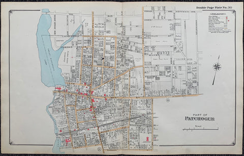
Link to  Long Island Index Map No.2 - Plate 30 Patchogue MapLong Island, C. 1915  Product
Long Island Index Map No.2 - Plate 30 Patchogue Map Product Link
Long Island, C. 1915
17 x 27 in (43 x 68 cm)
$200
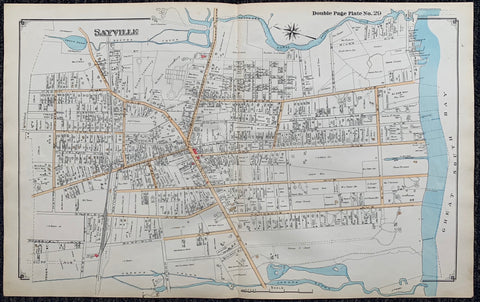
Link to  Long Island Index Map No.2 - Plate 29 Sayville MapLong Island, C. 1915  Product
Long Island Index Map No.2 - Plate 29 Sayville Map Product Link
Long Island, C. 1915
17 x 27 in (43 x 68 cm)
$200
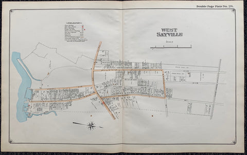
Link to  Long Island Index Map No.2 - Plate 28 West Sayville MapLong Island, C. 1915  Product
Long Island Index Map No.2 - Plate 28 West Sayville Map Product Link
Long Island, C. 1915
17 x 27 in (43 x 68 cm)
$200
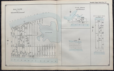
Link to  Long Island Index Map No.2 - Plate 27 Saltaire Gilgo Beach Stay a While Beach MapLong Island, C. 1915  Product
Long Island Index Map No.2 - Plate 27 Saltaire Gilgo Beach Stay a While Beach Map Product Link
Long Island, C. 1915
17 x 27 in (43 x 68 cm)
$200
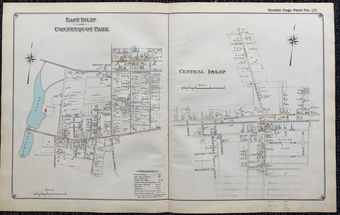
Link to  Long Island Index Map No.2 - Plate 25 Map. East Islip Connetquot ParkLong Island, C. 1915  Product
Long Island Index Map No.2 - Plate 25 Map. East Islip Connetquot Park Product Link
Long Island, C. 1915
17 x 27 in (43 x 68 cm)
$200
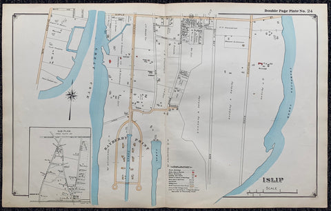
Link to  Long Island Index Map No.2 - Plate 24 IslipLong Island, C. 1915  Product
Long Island Index Map No.2 - Plate 24 Islip Product Link
Long Island, C. 1915
17 x 27 in (43 x 68 cm)
$200
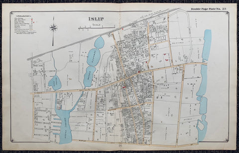
Link to  Long Island Index Map No.2 - Plate 23 IslipLong Island, C. 1915  Product
Long Island Index Map No.2 - Plate 23 Islip Product Link
Long Island, C. 1915
17 x 27 in (43 x 68 cm)
$200
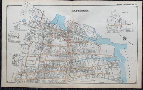
Link to  Long Island Index Map No.2 - Plate 21 BayshoreLong Island, C. 1915  Product
Long Island Index Map No.2 - Plate 21 Bayshore Product Link
Long Island, C. 1915
17 x 27 in (43 x 68 cm)
$200
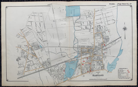
Link to  Long Island Index Map No.2 - Plate 19  BabylonLong Island, C. 1915  Product
Long Island Index Map No.2 - Plate 19 Babylon Product Link
Long Island, C. 1915
17 x 27 in (43 x 68 cm)
$200
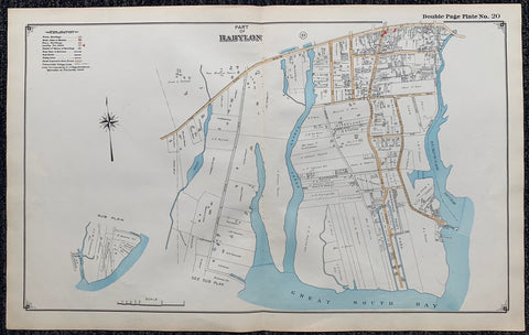
Link to  Long Island Index Map No.2 - Plate 20 BabylonLong Island, C. 1915  Product
Long Island Index Map No.2 - Plate 20 Babylon Product Link
Long Island, C. 1915
17 x 27 in (43 x 68 cm)
$200
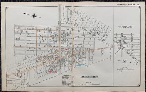
Link to  Long Island Index Map No.2 - Plate 18 LindenhurstLong Island, C. 1915  Product
Long Island Index Map No.2 - Plate 18 Lindenhurst Product Link
Long Island, C. 1915
17 x 27 in (43 x 68 cm)
$200
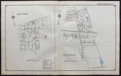
Link to  Long Island Index Map No.2 - Plate 17 BrentWood,CopiagueLong Island, C. 1915  Product
Long Island Index Map No.2 - Plate 17 BrentWood,Copiague Product Link
Long Island, C. 1915
17 x 27 in (43 x 68 cm)
$200
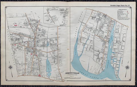
Link to  Long Island Index Map No.2 - Plate 16 AmityvilleLong Island, C. 1915  Product
Long Island Index Map No.2 - Plate 16 Amityville Product Link
Long Island, C. 1915
17 x 27 in (43 x 68 cm)
$200
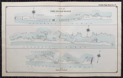
Link to  Long Island Index Map No.2 - Plate 15 Fire Island BeachLong Island, C. 1915  Product
Long Island Index Map No.2 - Plate 15 Fire Island Beach Product Link
Long Island, C. 1915
17 x 27 in (43 x 68 cm)
$200
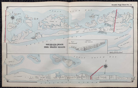
Link to  Long Island Index Map No.2 - Plate 14 Oak Island Beach, Fire Island BeachLong Island, C. 1915  Product
Long Island Index Map No.2 - Plate 14 Oak Island Beach, Fire Island Beach Product Link
Long Island, C. 1915
17 x 27 in (43 x 68 cm)
$200
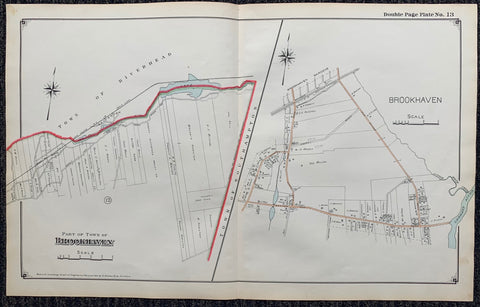
Link to  Long Island Index Map No.2 - Plate 13 Brookhaven, SouthamptonLong Island, C. 1915  Product
Long Island Index Map No.2 - Plate 13 Brookhaven, Southampton Product Link
Long Island, C. 1915
17 x 27 in (43 x 68 cm)
$200
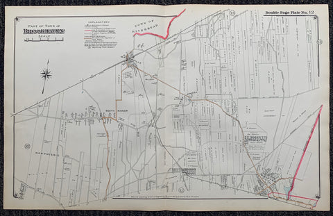
Link to  Long Island Index Map No.2 - Plate 12 BrookhavenLong Island, C. 1915  Product
Long Island Index Map No.2 - Plate 12 Brookhaven Product Link
Long Island, C. 1915
17 x 27 in (43 x 68 cm)
$200
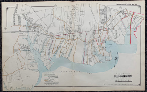
Link to  Long Island Index Map No.2 - Plate 11 BrookhavenLong Island, C. 1915  Product
Long Island Index Map No.2 - Plate 11 Brookhaven Product Link
Long Island, C. 1915
17 x 27 in (43 x 68 cm)
$200
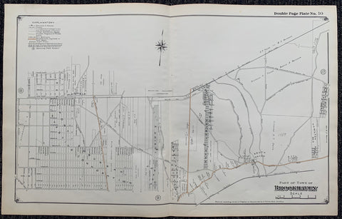
Link to  Long Island Index Map No.2 - Plate 10 BrookhavenLong Island, C. 1915  Product
Long Island Index Map No.2 - Plate 10 Brookhaven Product Link
Long Island, C. 1915
17 x 27 in (43 x 68 cm)
$200
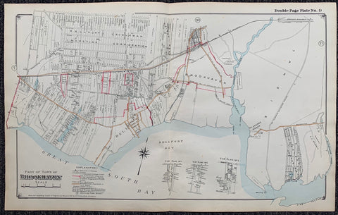
Link to  Long Island Index Map No.2 - Plate 9 BrookhavenLong Island, C. 1915  Product
Long Island Index Map No.2 - Plate 9 Brookhaven Product Link
Long Island, C. 1915
17 x 27 in (43 x 68 cm)
$200
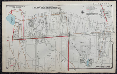
Link to  Long Island Index Map No.2 - Plate 8 Islip, BrookhavenLong Island, C. 1915  Product
Long Island Index Map No.2 - Plate 8 Islip, Brookhaven Product Link
Long Island, C. 1915
17 x 27 in (43 x 68 cm)
$200
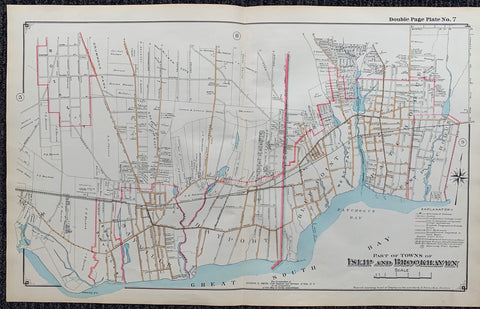
Link to  Long Island Index Map No.2 - Plate 7 Islip, BrookhavenLong Island, C. 1915  Product
Long Island Index Map No.2 - Plate 7 Islip, Brookhaven Product Link
Long Island, C. 1915
17 x 27 in (43 x 68 cm)
$200
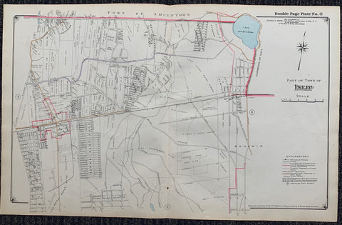
Link to  Long Island Index Map No.2 - Plate 6 IslipLong Island, C. 1915  Product
Long Island Index Map No.2 - Plate 6 Islip Product Link
Long Island, C. 1915
17 x 27 in (43 x 68 cm)
$200
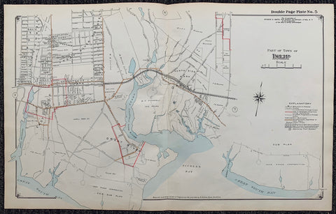
Link to  Long Island Index Map No.2 - Plate 5 IslipLong Island, C. 1915  Product
Long Island Index Map No.2 - Plate 5 Islip Product Link
Long Island, C. 1915
17 x 27 in (43 x 68 cm)
$200
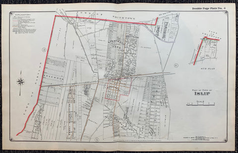
Link to  Long Island Index Map No.2 - Plate 4 IslipLong Island, C. 1915  Product
Long Island Index Map No.2 - Plate 4 Islip Product Link
Long Island, C. 1915
17 x 27 in (43 x 68 cm)
$200
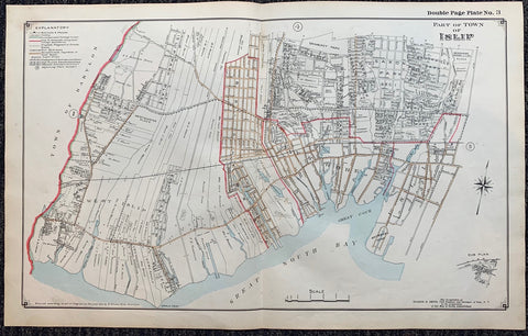
Link to  Long Island Index Map No.2 - Plate 3 IslipLong Island, C. 1915  Product
Long Island Index Map No.2 - Plate 3 Islip Product Link
Long Island, C. 1915
17 x 27 in (43 x 68 cm)
$200
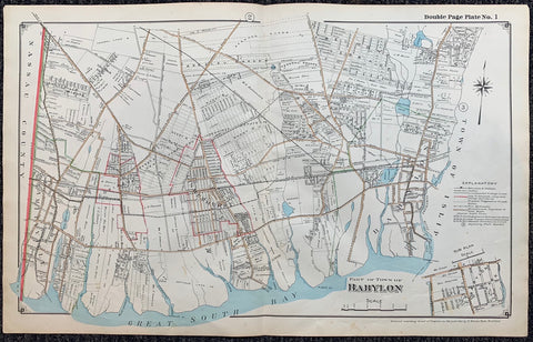
Link to  Long Island Index Map No.2 - Plate 1 BabylonLong Island, C. 1915  Product
Long Island Index Map No.2 - Plate 1 Babylon Product Link
Long Island, C. 1915
17 x 27 in (43 x 68 cm)
$200
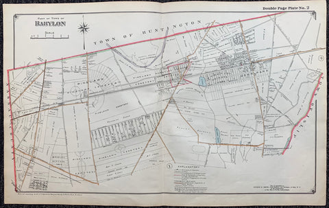
Link to  Long Island Index Map No.2 - Plate 2 BabylonLong Island, C. 1915  Product
Long Island Index Map No.2 - Plate 2 Babylon Product Link
Long Island, C. 1915
17 x 27 in (43 x 68 cm)
$200
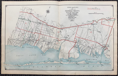
Link to  Long Island Index Map No.2 - Cover Suffolk County, BrookhavenLong Island, C. 191515  Product
Long Island Index Map No.2 - Cover Suffolk County, Brookhaven Product Link
Long Island, C. 191515
17 x 27 in (43 x 68 cm)
$200
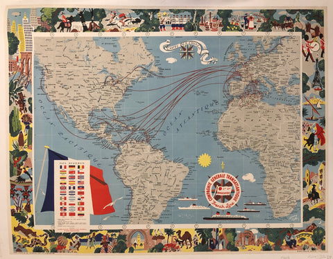
Link to  Carte de Lignes Poster ✓France, 1959  Product
Carte de Lignes Poster ✓ Product Link
France, 1959
31 x 40 in (77 x 100 cm)
$450