83 All Posters
CATEGORY
PRICE
SIZE
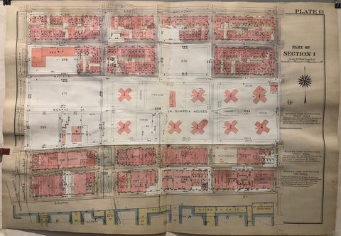
New York Atlas of Manhattan Plate 13 Product Link
1931-1963
23 x 33 in (57 x 84 cm)
$200
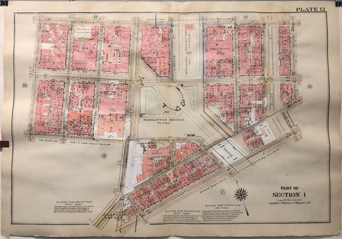
New York Atlas of Manhattan Plate 12 Product Link
1931-1963
23 x 33 in (57 x 84 cm)
$200
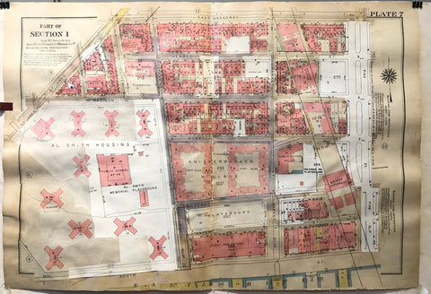
New York Atlas of Manhattan Plate 7 Product Link
1931-1963
23 x 33 in (57 x 84 cm)
$200
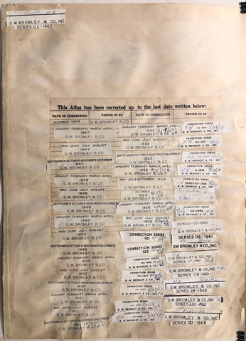
New York Atlas of Manhattan Correction Page Product Link
1931-1963
17 x 23 in (42 x 58 cm)
$150
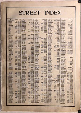
New York Atlas of Manhattan Street Index Product Link
1931
17 x 23 in (42 x 58 cm)
$150
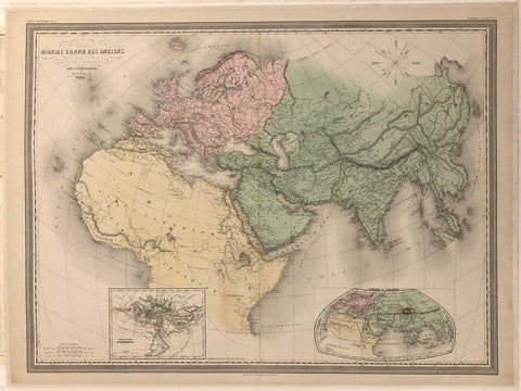
Monde Connu Des Anciens Map ✓ Product Link
France, c. 1933
24 x 32 in (61 x 81 cm)
$400

The state of New Jersey Product Link
U.S.A 1887
27 x 37 in (68 x 94 cm)
$160

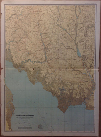
A Topographical Map of the Vicinity of Salem Product Link
U.S.A 1887
27 x 37 in (68 x 94 cm)
$160
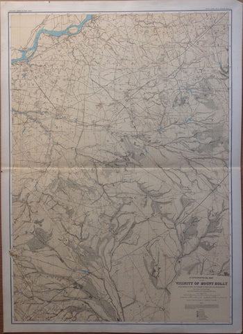
A Topographical Map of the Vicinity of Mount Holly Product Link
U.S.A 1887
27 x 37 in (68 x 94 cm)
$160

New Jersey Product Link
U.S.A 1887
27 x 37 in (68 x 94 cm)
$160

A Topographical Map of the Southern Interior Product Link
U.S.A 1887
27 x 37 in (68 x 94 cm)
$160
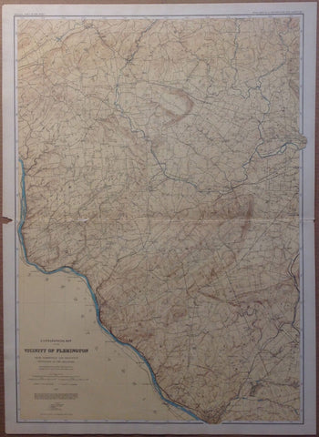
A Topographical Map of the Vicinity of Flemington Product Link
U.S.A 1887
27 x 37 in (68 x 94 cm)
$160
A Topographical Map of the Vicinity of Bridgeton Product Link
U.S.A 1887
27 x 37 in (68 x 94 cm)
$160

A Topographical Map of the Central Highlands Product Link
U.S.A 1887
27 x 37 in (68 x 94 cm)
$160
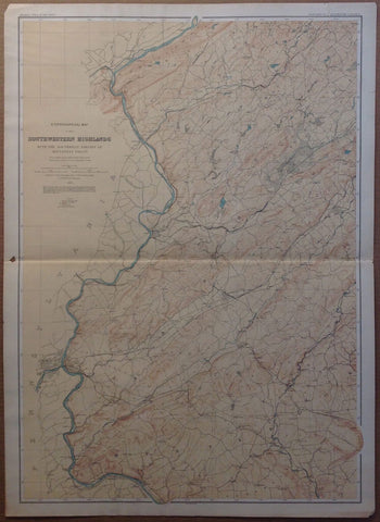
A Topographical Map of the Southwestern Highlands Product Link
U.S.A 1887
27 x 37 in (68 x 94 cm)
$160

A Topographical Map of Kittatinny Valley and Mountain Product Link
U.S.A 1887
27 x 37 in (68 x 94 cm)
$160
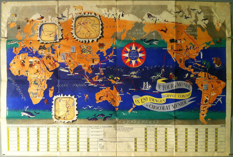
"Le Tour du Monde en 120 Images Grand Concours du Chocolat Menier" Product Link
France, 1956
30 x 44 in (76 x 112 cm)
$450
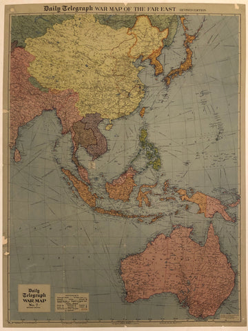
War Map Of The Far East ✓ Product Link
United Kingdom, c.1942
32 x 42 in (81 x 107 cm)
$550
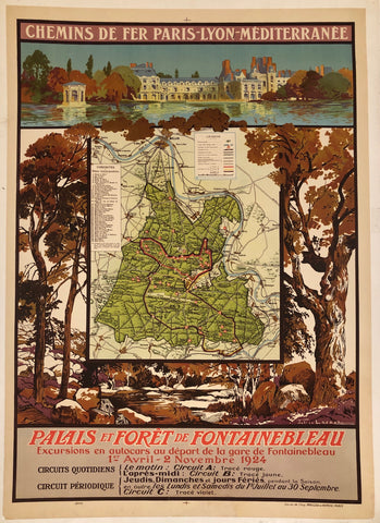
Palais et Foret de Fontainebleau ✓ Product Link
France, 1924
31 x 42 in (79 x 107 cm)
$650
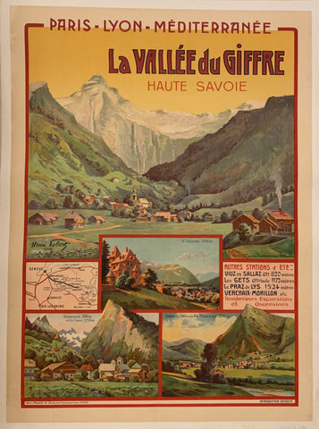
La Vallee Du Giffre Poster ✓ Product Link
France, 1908
31 x 42 in (79 x 107 cm)
$750
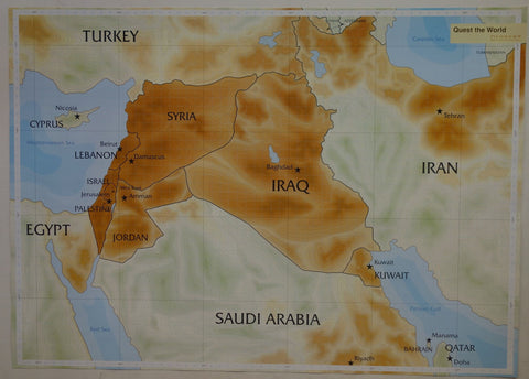
Quest the World 1/2 Product Link
Poland, 2008
28 x 39 in (71 x 99 cm)
$300
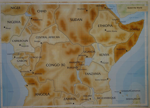
Quest the World 2/2 Product Link
Poland, 2008
28 x 39 in (71 x 99 cm)
$300
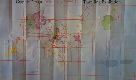
Graphic Design Travelling Exhibition Product Link
-
24 x 34 in (61 x 86 cm)
$300
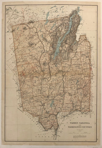
Warren Saratoga and Washington Counties ✓ Product Link
United States c. 1895
36 x 25 in (91 x 64 cm)
$200
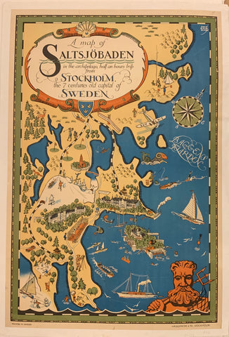
A Map of Saltsjöbaden Poster ✓ Product Link
Sweden, c. 1930
39 x 26 in (99 x 66 cm)
$650
Afrique Product Link
-
18 x 24 in (46 x 60 cm)
$300
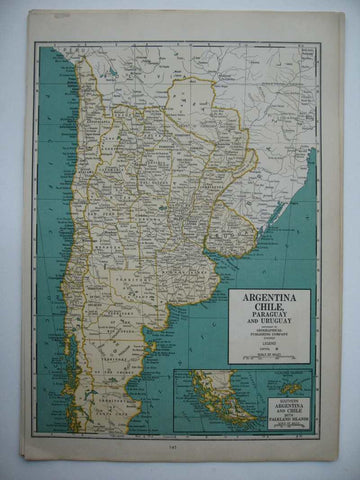
Argentina And Chile P 82 Product Link
-
14 x 11 in (36 x 27 cm)
$40
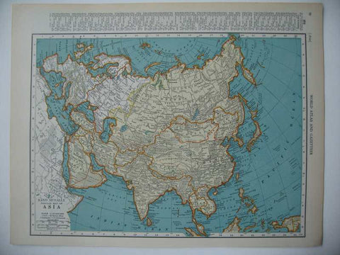
Asia P 98 Product Link
-
14 x 11 in (36 x 27 cm)
$40
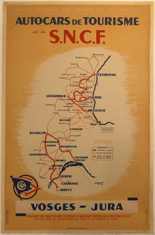
Autocars de Tourisme de la S.N.C.F Poster ✓ Product Link
France, 1948
25 x 39 in (64 x 99 cm)
$400
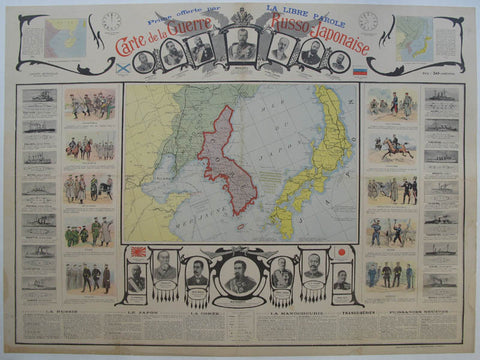
Carte De La Guerre Russo Japonaise Product Link
33 x 24 in (84 x 61 cm)
$850
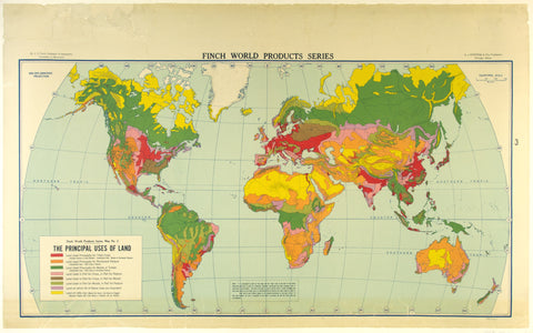
Finch World Product Series Product Link
-
50 x 31 in (127 x 79 cm)
$450
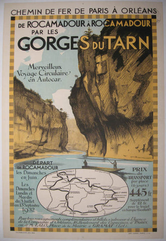
Gorges Du Tarn Product Link
-
25 x 40 in (62 x 100 cm)
$475
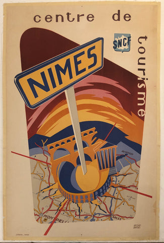
Nimes Centre de Tourisme Travel Poster ✓ Product Link
France, c. 1960

