11 Europe
CATEGORY
PRICE
SIZE
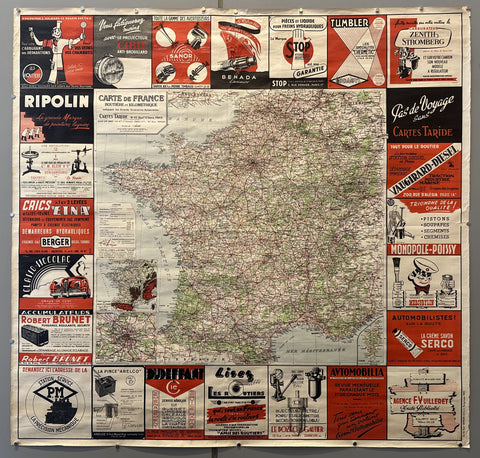
Carte de France Cartes Taride Product Link
France, c. 1930
47 x 49 in (119 x 124 cm)
$450

Paris 1937 Exposition Internationale (Paper) Product Link
France, 1937
16 x 10 in (41 x 25 cm)
$200

Air France Map Summer 1952 Product Link
France, 1952
21 x 31 in (53 x 79 cm)
$250
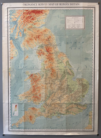
Ordnance Survey Map of Roman Britain Product Link
Great Britain, c. 1928
35 x 25 in (89 x 64 cm)
$200
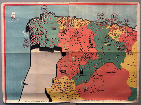
Map of Northern Spain Product Link
Spain, 1939
40 x 55 in (102 x 140 cm)
$800
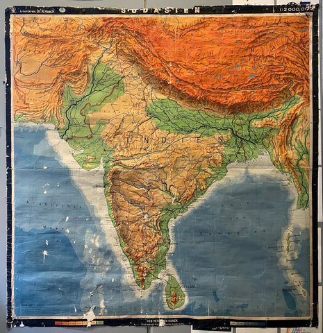
Sudasien Map Product Link
Germany, c. 1950
76 x 71 in (193 x 180 cm)
$100
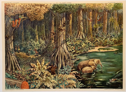
La Foret Vierge Print ✓ Product Link
France, c. 1950
22 x 29 in (56 x 74 cm)
$250
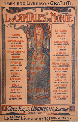
Les Capitales du Monde Poster Product Link
France, c. 1900
39 x 55 in (99 x 140 cm)
$1,200
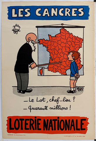
Loterie Nationale: "Student Learning Maps" Product Link
France, C. 1955
24 x 16 in (61 x 41 cm)
$250
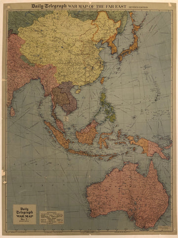
War Map Of The Far East ✓ Product Link
United Kingdom, c.1942
32 x 42 in (81 x 107 cm)
$550
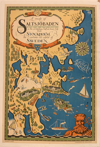
A Map of Saltsjöbaden Poster ✓ Product Link
Sweden, c. 1930

