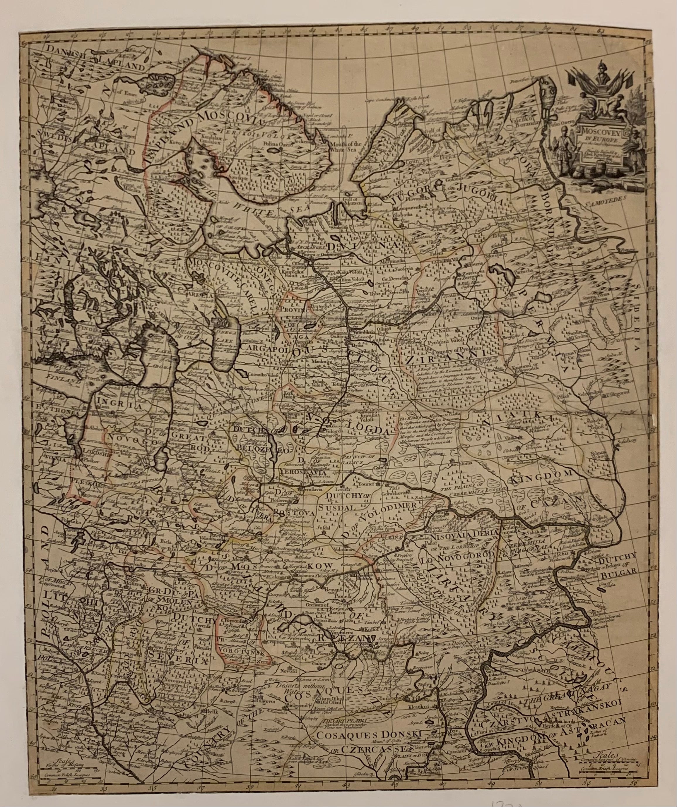
Moscovey (Moscow) In Europe Map
England, c. 172021 x 24 in (53 x 61 cm)
ID #LBSMALLTRAVELTABLE-R-114
Moscovey (Moscow) In Europe map, featuring the boundaries of the kingdom of Moscow. This map is actually from the 1700s, meaning it was produced when the kingdom of Moscow was still around. This map was printed in 18th century England during the reign of George I, meaning that it was printed while America was just a colony of England.
Condition: Excellent
Please note poster is linen backed


