14 Horizontal
CATEGORY
PRICE
SIZE

Guillemard Product Link
France, c.1980's
30 x 25 in (76 x 64 cm)
$125

Vue de la ville et du port de Marseille Product Link
France, 1967
25 x 20 in (64 x 51 cm)
$65

7 UP 'The Island of Pure Refreshment' Product Link
USA, 1988
21 x 33 in (53 x 84 cm)
$450

Harbor Festival 1986 Poster Product Link
United States, 1986
45 x 59 in (114 x 150 cm)
$400
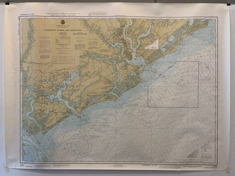
NOAA Charleston Harbor and Approaches Map Product Link
U.S.A., 1962
36 x 44 in (91 x 112 cm)
$200
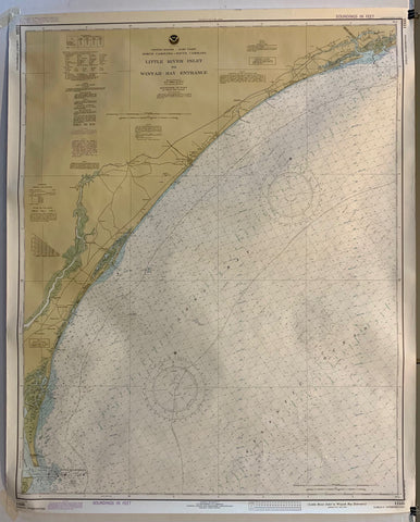
NOAA Little River Inlet to Winyah Bay Entrance Map Product Link
U.S.A., 1979
36 x 44 in (91 x 112 cm)
$200
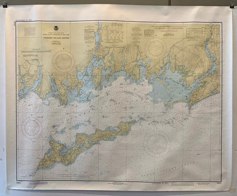
NOAA Fishers Island Sound Map Product Link
U.S.A., 1979
37 x 45 in (94 x 114 cm)
$200
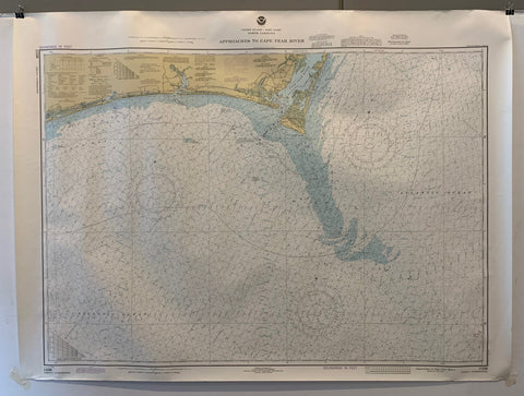
NOAA Approaches to Cape Fear River Map Product Link
U.S.A., 1979
37 x 45 in (94 x 114 cm)
$200
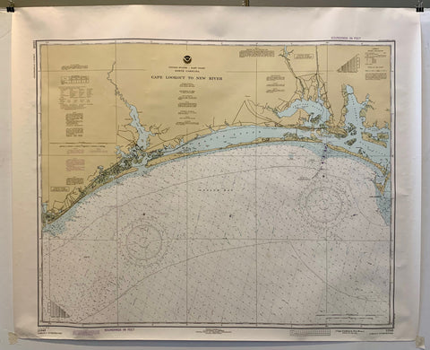
NOAA Cape Lookout to New River Map Product Link
U.S.A., 1981
37 x 45 in (94 x 114 cm)
$200
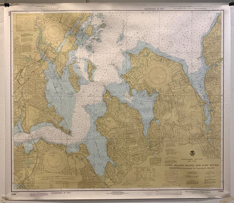
NOAA Long Island Sound and East River Map Product Link
U.S.A., 1979
36 x 50 in (91 x 127 cm)
$200
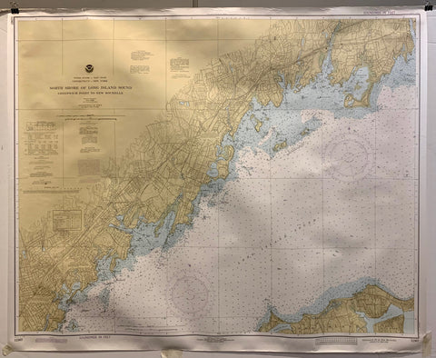
NOAA North Shore of Long Island Sound Map Product Link
U.S.A., 1979
36 x 50 in (91 x 127 cm)
$200

Do Wziecia Product Link
Morowski 1988
28 x 40 in (71 x 102 cm)
$250
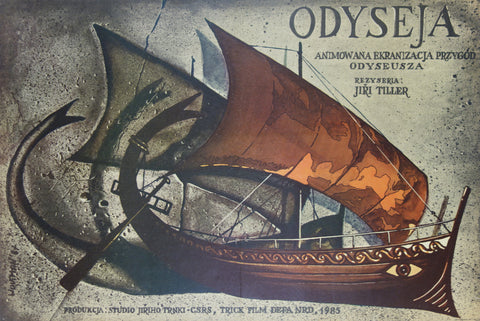
Odyseja Product Link
June 1905
26 x 35 in (66 x 89 cm)
$300
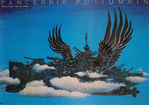
Pancernik Potiomkin Product Link
POLAND

