56 Maps
CATEGORY
PRICE
SIZE
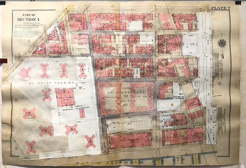
New York Atlas of Manhattan Plate 7 Product Link
1931-1963
23 x 33 in (57 x 84 cm)
$200
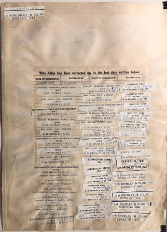
New York Atlas of Manhattan Correction Page Product Link
1931-1963
17 x 23 in (42 x 58 cm)
$150
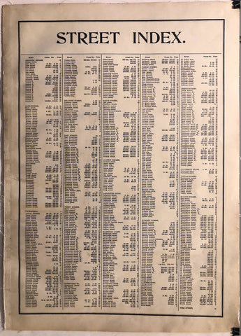
New York Atlas of Manhattan Street Index Product Link
1931
17 x 23 in (42 x 58 cm)
$150
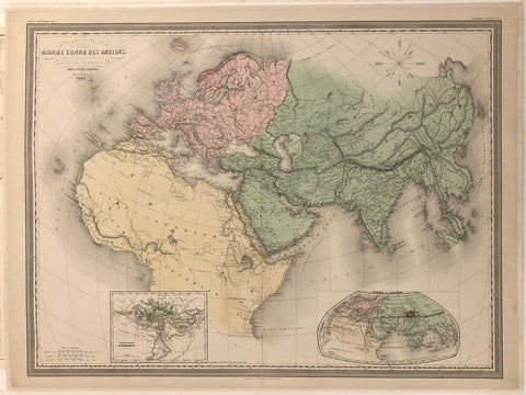
Monde Connu Des Anciens Map ✓ Product Link
France, c. 1933
24 x 32 in (61 x 81 cm)
$400
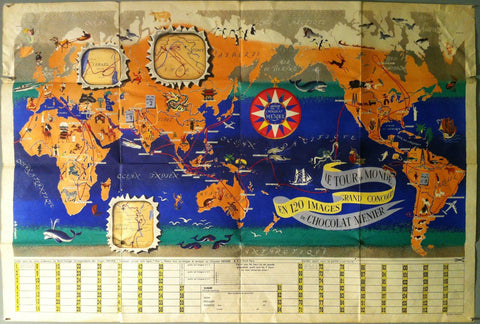
"Le Tour du Monde en 120 Images Grand Concours du Chocolat Menier" Product Link
France, 1956
30 x 44 in (76 x 112 cm)
$450
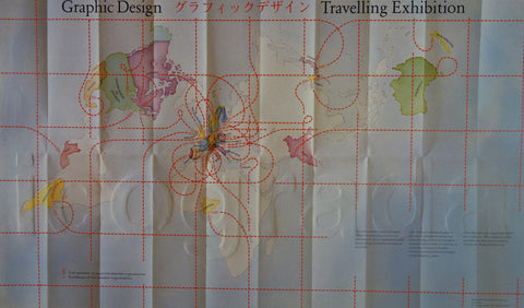
Graphic Design Travelling Exhibition Product Link
-

