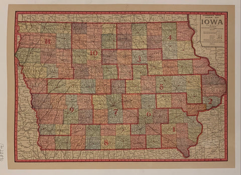
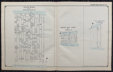
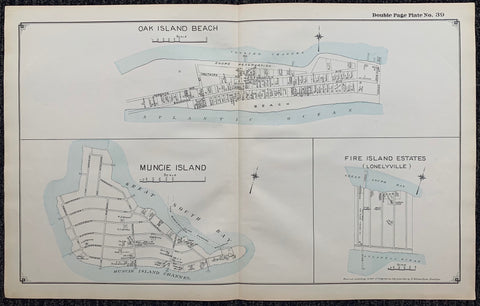
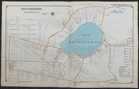
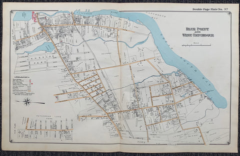
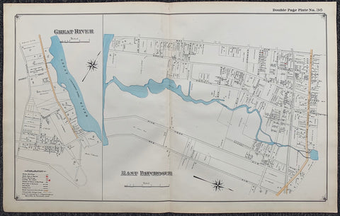
17 x 23 in (42 x 58 cm)
ID #MAPNY-J-COR003
corrections from 1931 up to 1963.
100-250 art atlas borough detail manhattan maps new york new york city ny nyc size-16-5x23 vintage
Map Of Iowa ✓
USA, c. 1917
Long Island Index Map No.2 - Plate 40 Ocean Bay Park
Long Island, C. 1915
Long Island Index Map No.2 - Plate 39 Oak Island Beach Muncie Island Fire Island Estates (Lonelyville)
Long Island Index Map No.2 - Plate 38 Lake Ronkonkoma
Long Island Index Map No.2 - Plate 37 Blue Point West Patchogue
Long Island Index Map No.2 - Plate 36 Great River East Patchogue