10 Maps

NOTE: For close-up of condition, double-click the image
Link to  The state of New JerseyU.S.A 1887  Product
The state of New Jersey Product Link
U.S.A 1887
27 x 37 in (68 x 94 cm)
$160
Link to  A Topographical Map of the Vicinity of SalemU.S.A 1887  Product
A Topographical Map of the Vicinity of Salem Product Link
U.S.A 1887
27 x 37 in (68 x 94 cm)
$160
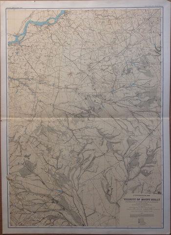
Link to  A Topographical Map of the Vicinity of Mount HollyU.S.A 1887  Product
A Topographical Map of the Vicinity of Mount Holly Product Link
U.S.A 1887
27 x 37 in (68 x 94 cm)
$160
Link to  New JerseyU.S.A 1887  Product
New Jersey Product Link
U.S.A 1887
27 x 37 in (68 x 94 cm)
$160
Link to  A Topographical Map of the Southern InteriorU.S.A 1887  Product
A Topographical Map of the Southern Interior Product Link
U.S.A 1887
27 x 37 in (68 x 94 cm)
$160
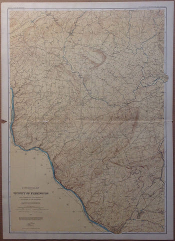
Link to  A Topographical Map of the Vicinity of FlemingtonU.S.A 1887  Product
A Topographical Map of the Vicinity of Flemington Product Link
U.S.A 1887
27 x 37 in (68 x 94 cm)
$160
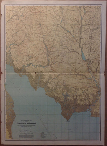
Link to  A Topographical Map of the Vicinity of BridgetonU.S.A 1887  Product
A Topographical Map of the Vicinity of Bridgeton Product Link
U.S.A 1887
27 x 37 in (68 x 94 cm)
$160
Link to  A Topographical Map of the Central HighlandsU.S.A 1887  Product
A Topographical Map of the Central Highlands Product Link
U.S.A 1887
27 x 37 in (68 x 94 cm)
$160
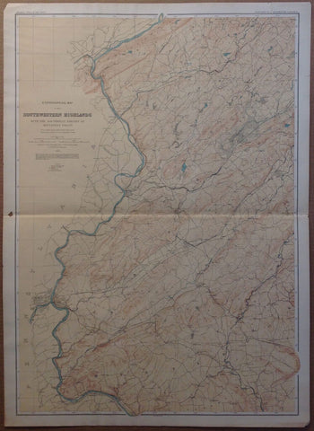
Link to  A Topographical Map of the Southwestern HighlandsU.S.A 1887  Product
A Topographical Map of the Southwestern Highlands Product Link
U.S.A 1887
27 x 37 in (68 x 94 cm)
$160
Link to  A Topographical Map of Kittatinny Valley and MountainU.S.A 1887  Product
A Topographical Map of Kittatinny Valley and Mountain Product Link
U.S.A 1887
27 x 37 in (68 x 94 cm)
$160