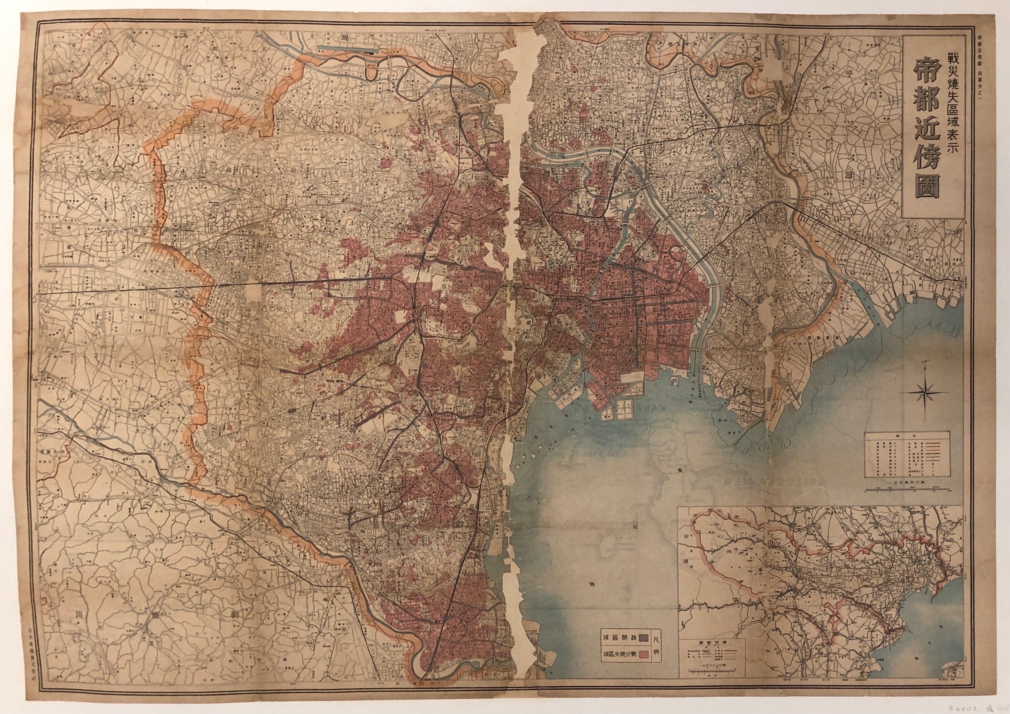
Map of Tokyo ✓
Japan, c. 193030 x 42 in (76 x 107 cm)
ID #LBFRENCHTRAVELTABLE02-Z-48
This extraordinary vintage find is a map of Tokyo, fully detailed with all the criss-crossing streets of the city accounted for. A real treasure of geographic and cartographic history.
Year: c. 1930?
Condition: Poor, please note tear down the middle of the poster
This poster is linen-backed on canvas


