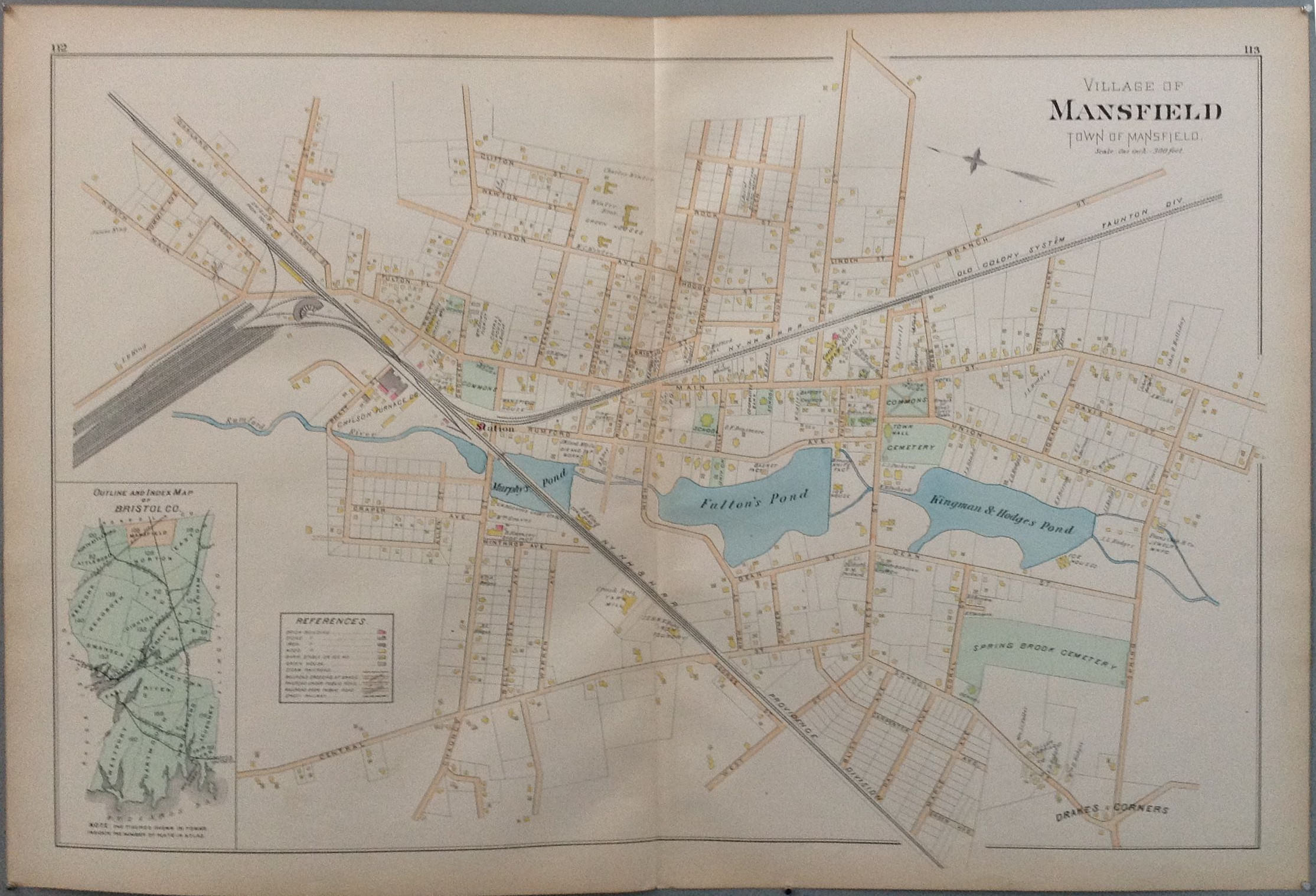
Town of Mansfield
U.S.A 189533 x 23 in (83 x 57 cm)
ID #map-c-112/113
"New topographical atlas of surveys Bristol County Massachusetts"
- This piece is one of forty-five double page maps, in colors, of the cities and towns of the county; together with a double page map of the united states and the state of massachusetts, and a driving map of Bristol County and vicinity, showing all roads in color.
- Published by Everts & Richards Philadelphia 1895.


