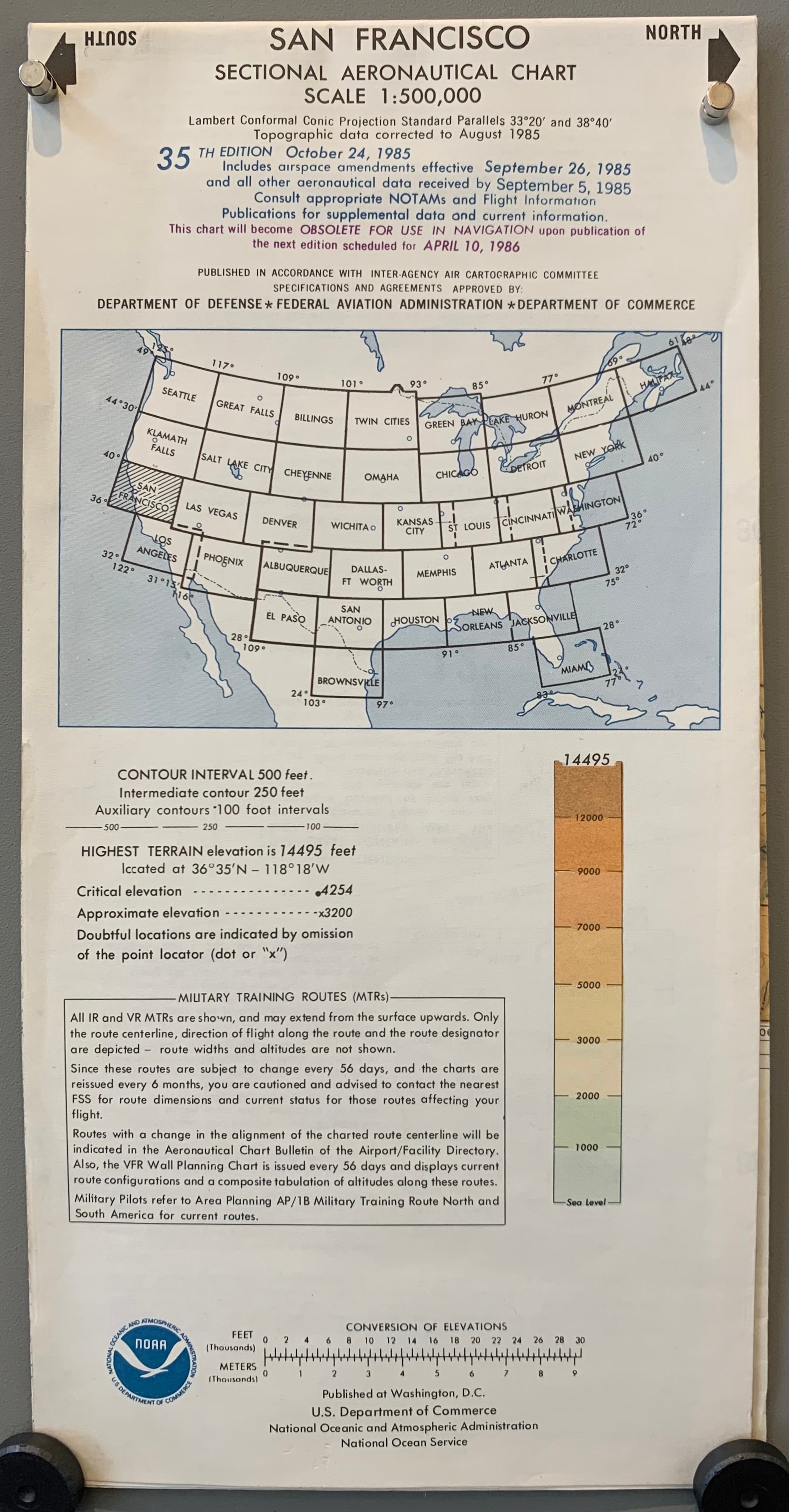
San Francisco Sectional Aeronautical Chart, 35th Edition (Double-Sided)

1985
55 x 20 in (138 x 51 cm)
ID #MAPDRAWER-2D-PK2-5S
Title: San Francisco Sectional Aeronautical Chart

Description: A 35th edition chart produced by the Department of Defense with the Federal Aviation Administration for pilots. Specifically designed for visual navigation speed of aircrafts. Pertains exclusively to the San Francisco Bay Area.

Published: in Washington, D.C., by the U.S. Department of Commerce, National Oceanic and Atmospheric Administration, and National Ocean Service

Condition: Folds. One of two copies available.

50-100 aircraft aviation map san francisco sectional aeronautical size-54-5-x-20 VFR

More from $50 to $100


Root Beer Float Poster ✓
U.S.A., c. 1950
28 x 12 in 71 x 30 (cm)
$60
You're in Luck With/Shoot for the Best Poster ✓
U.S.A., c. 1950
42 x 13 in 107 x 33 (cm)
$90
Soviet Water Conservation Poster
USSR, 1982
17 x 11 in 43 x 28 (cm)
$70
Ronda di Mezzanotte Poster
Italy, 1953
27 x 12 in 69 x 30 (cm)
$90
Ma Che Razza di Amici! Poster
Italy, 1972
26 x 12 in 66 x 30 (cm)
$90
The End of the Trail Plate
U.S.A., 1915
16 x 20 in 41 x 51 (cm)
$75