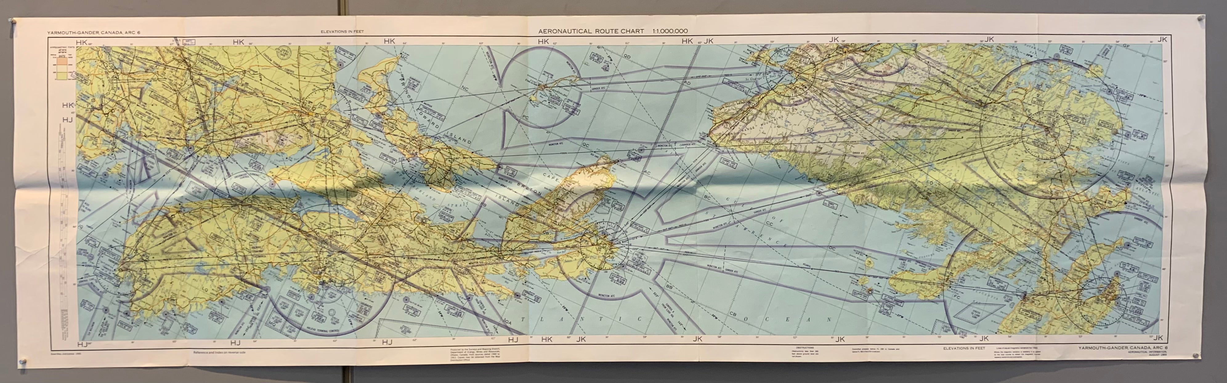

Aeronautical Route Chart, Yarmouth-Gander, Canada (Double-Sided)
196352 x 16 in (132 x 39 cm)
ID #MAPDRAWER-2D-PK5-4S
Title: Aeronautical Route Chart, Yarmouth-Gander, Canada
Description: A folded map/pamphlet of aeronautical symbols, including air navigation lights, airways, air routes, and contol, and air emergency codes. On the other side of the print is a fully-colored aeronautical map of the Yarmouth-Gander area in Canada.
Condition: Folds.


