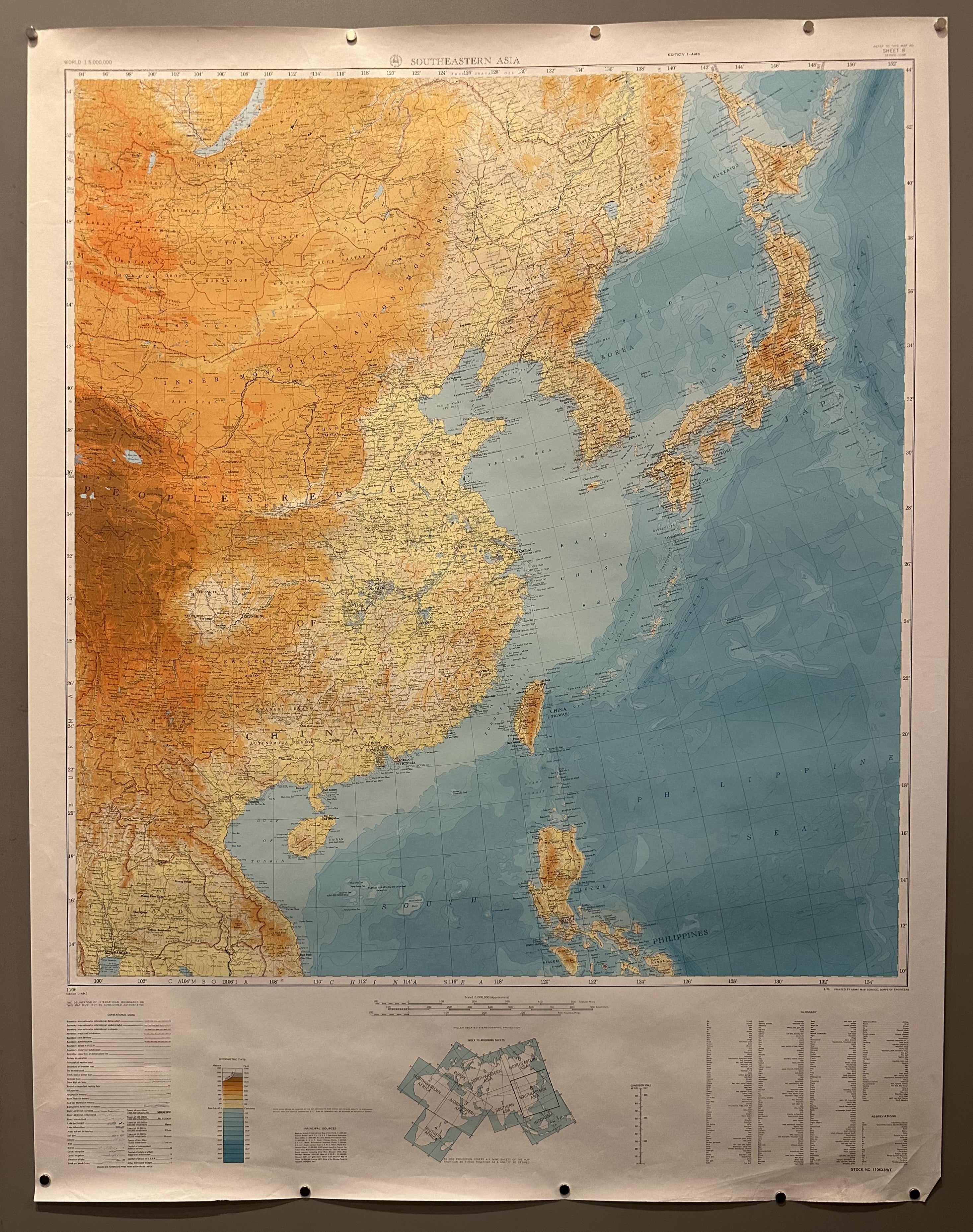
Map of Southeastern Asia
USA, c. 1940s45 x 35 in (114 x 89 cm)
ID #CHAMBER-TUBE14-S
This is a planning map of Southeastern Asia with a legend indicating elevation, population, boundaries, railroads, trails, and other facts.
Printer: Army Map Service, Corps of Engineers
Condition: Good; please note paper creasing.
Material: Paper
All sizes are approximate.


