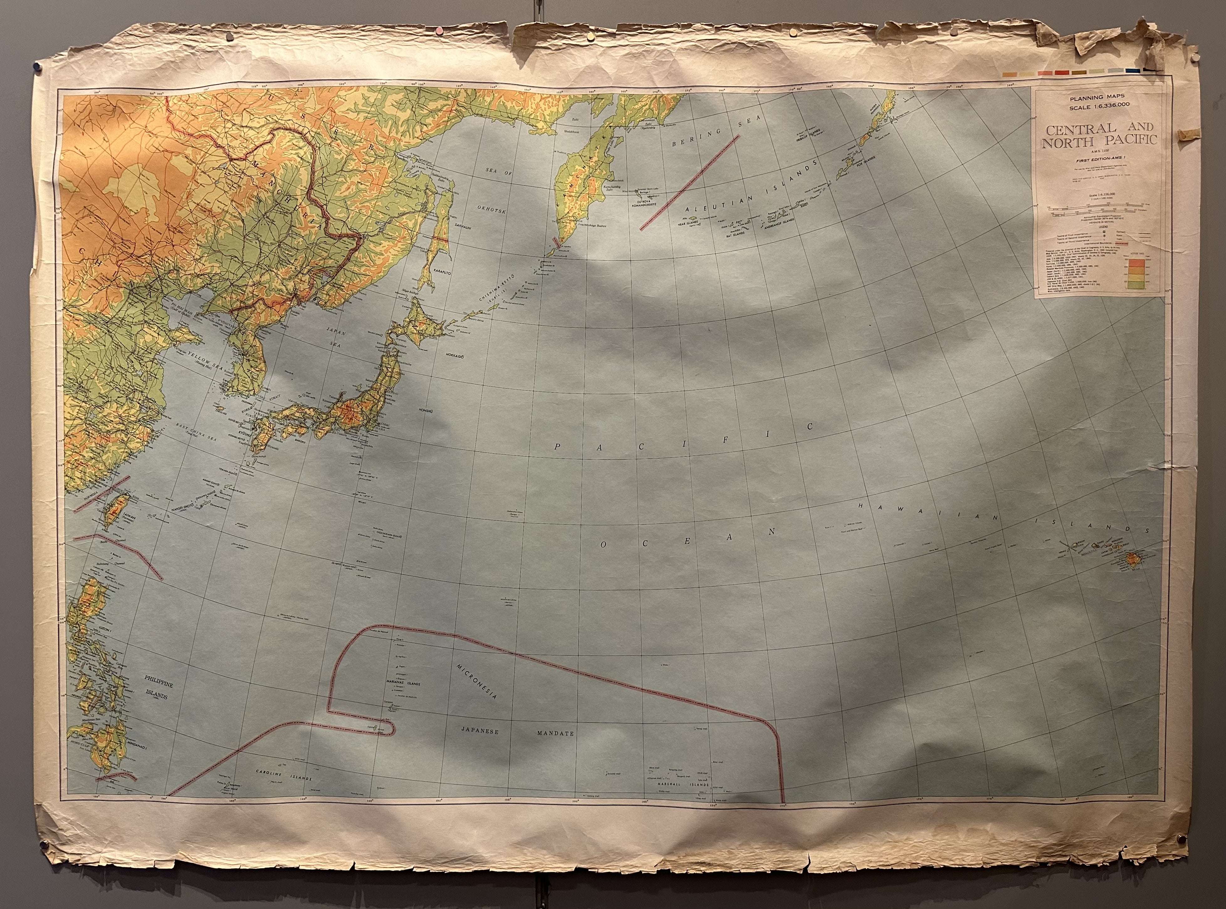
Map of Central and North Pacific Region
USA, 194344 x 59 in (112 x 150 cm)
ID #CHAMBER-TUBE14-S
This is a planning map of the Central and North Pacific oceanic region for use by War and Navy Department Agencies and includes a legend indicating train lines, roads, trails, altitude, and other facts.
Printer/publisher: Army Map Service
Condition: Poor; please note pieces missing, creasing, and water staining.
Material: Paper
All sizes are approximate.


